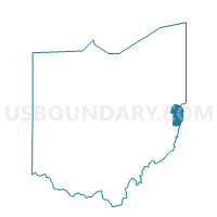
PRECINCT IRONDALE, Jefferson County, Ohio
About
Outline

Summary
| Unique Area Identifier | 648125 |
| Name | PRECINCT IRONDALE |
| County | Jefferson County |
| State | Ohio |
| Area (square miles) | 1.42 |
| Land Area (square miles) | 1.40 |
| Water Area (square miles) | 0.03 |
| % of Land Area | 98.12 |
| % of Water Area | 1.88 |
| Latitude of the Internal Point | 40.57354920 |
| Longtitude of the Internal Point | -80.72638460 |
Maps


Graphs
Select a template below for downloading or customizing gragh for PRECINCT IRONDALE, Jefferson County, Ohio